
The same sealed subsurface intelligence engine serves mining, energy, water, heritage, infrastructure and security.
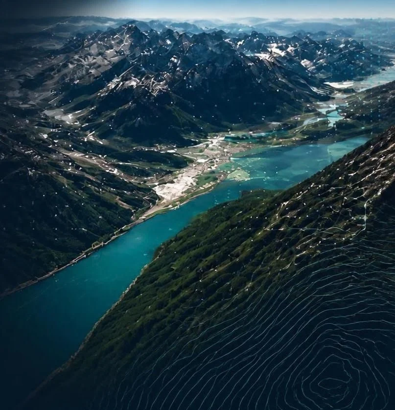
Wherever decisions depend on what lies beneath the surface, GeoservAi replaces assumptions with evidence.
Blind copper-gold systems, orogenic gold, lithium pegmatites, rare earths, manganese, PGMs and germanium beneath barren cover, including stratiform and structurally controlled copper systems.
Deep down-plunge orebody extensions (500 m to 2,500 m), orebodies displaced by faulting, and real-time steering of infill drill rigs next to existing mills.
Zero-disturbance 3D mapping for governments, ministries of antiquities and sovereign wealth funds: buried tombs, temple complexes, chambers and sunken ports, without breaking a stone or violating UNESCO preservation laws.
High-yield deep aquifers (80 m to 450 m) for municipalities, industry, AI data centres and agriculture, with verification of the natural seals that protect deep water from surface contamination.
3D grade mapping of historical dumps and tailings storage facilities (Au, Cu, U, Co, Ge), paired with dam-wall stability and basal seepage tracking.
Thermal anomalies and permeable faults (2,000 m to 4,500 m) for Enhanced Geothermal Systems, natural hydrogen traps, and caprock audits for carbon capture and storage.
Pre-construction bedrock and cavity mapping for rail, tunnels, dams and megacities; sinkhole early warning; and detection of clandestine tunnels and deep bunkers.
Abyssal polymetallic nodule fields (Clarion-Clipperton Zone), sub-seafloor massive sulfides and planetary regolith resource mapping.
Seven projects across the Lualaba Province, Central Province and the Copperbelt, covering stratiform, structurally controlled and deeply covered copper systems and more than 1,000 km² of interpreted geological models.
A clear path from first conversation to scaled, continuous value.
Align on objectives, assess data and needs, define success.
Milestone: Discovery complete
Ingest and harmonise data, configure the platform, establish workflows.
Milestone: Integration complete
Deploy solutions, train teams, validate insights and workflows.
Milestone: Operational readiness
Expand use cases, optimise performance, drive continuous value.
Milestone: Scale and optimise
Whatever the commodity or application, we’ll show you how GeoservAi can help.